MR-9 · Pîrî Reis
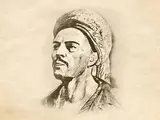
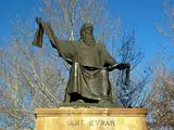
Pîrî Reis was one of the most prominent navigators, cartographers and geographers in Ottoman history. Believed to have been born in Gelibolu in the second half of the 15th century, he was given the name Muhyiddin Pîrî.
He began his seafaring career alongside his uncle, Kemal Reis, and gained the opportunity to become familiar with different coastlines, ports and sea routes during expeditions in the Mediterranean. He later served in the Ottoman Navy and took part in significant naval campaigns. His experience at sea established his reputation not only as a naval commander but also as a scholar who produced works in geography and cartography.
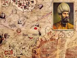
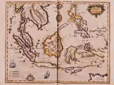
One of the most important works that brought Pîrî Reis international recognition is his 1513 world map. Only a portion of the original map has survived. This surviving section depicts the coasts of Western Europe and Africa, as well as part of the eastern coast of South America, in considerable detail. In preparing the map, Pîrî Reis drew on various geographical sources, information provided by sailors and maps known in his time. One of its remarkable features is that it incorporates geographical information associated with Christopher Columbus’s voyages across the Atlantic Ocean. Discovered at Topkapı Sarayı in 1929, the map is regarded as an important document in the history of world cartography and was inscribed on UNESCO’s Memory of the World International Register in 2017.
Another major work by Pîrî Reis is Kitâb-ı Bahriyye, one of the fundamental sources on 16th-century navigation. First compiled in 1521 and later expanded and revised, this work provides detailed descriptions of the Aegean and Mediterranean coasts, ports, islands, bays and sea routes. Accompanied by maps, the book includes not only geographical features of coastlines but also the histories of cities, the locations of ports and other information of importance to seafarers. Pîrî Reis’s use of personal observations and many years of maritime experience made the work one of the valuable navigational guides of its time. Today, Kitâb-ı Bahriyye remains an important source for understanding Ottoman maritime culture and the history of the Mediterranean region.
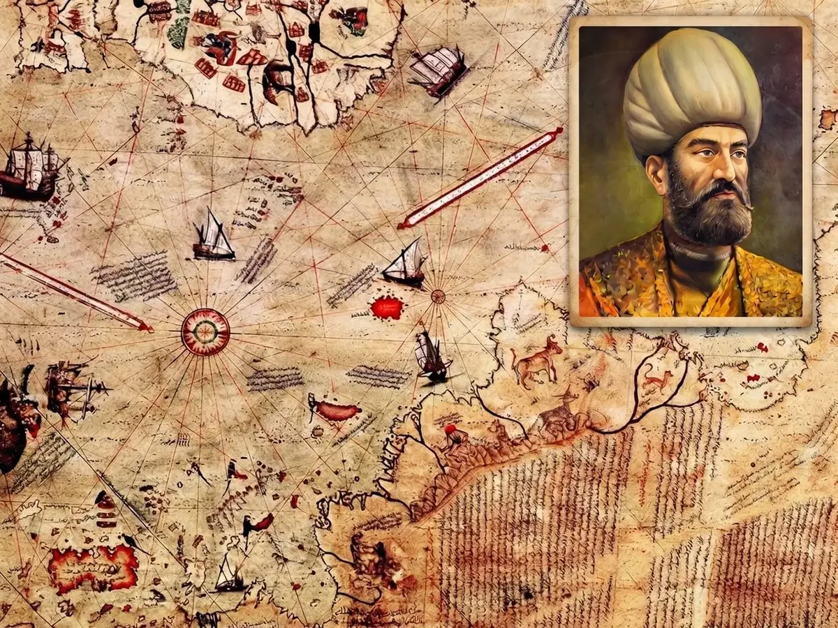
In the later years of his life, Pîrî Reis held senior positions in the Ottoman Navy and took part in maritime operations around the Indian Ocean and the Red Sea. During a period of intense naval rivalry with the Portuguese, he participated in several expeditions. The final years of his life were shaped by developments following the Hormuz Campaign, and he was executed in Egypt around 1553. His surviving world maps and Kitâb-ı Bahriyye remain significant works that combine maritime experience with scientific knowledge and cartography. Pîrî Reis’s works are valuable historical documents that reveal how the world was understood in the 16th century, how sea routes were recorded and how information from different geographical regions was brought together.
Official sources+
Source titles are given in their original language.
- UNESCO Dünya Belleği Programı – 1513 Tarihli Pîrî Reis Dünya Haritası
- UNESCO Türkiye Millî Komisyonu – Dünya Belleği Uluslararası Kütüğü
- T.C. Kültür ve Turizm Bakanlığı – Pîrî Reis Haritası
- TDV İslâm Ansiklopedisi – Pîrî Reis
- Türk Tarih Kurumu – Pîrî Reis Haritası Hakkında İzahnâme